Drone Surveying & Aerial Data
UAS Precision Data
High-quality, accurate, defensible and up-to-date aerial site data. Esprit Drone Surveying are your provider of choice.
- Who are we?
Award-winning, CAA Authorised aerial surveying
Aerial Data Specialists
CAA Authorised and audit passed, we have a solid track record in aerial data gathering and processing. Safety and accuracy are our key objectives in all work undertaken.
We understand your business
We work with our clients to find out your requirements and how aerial data can help to solve problems and save time & money.






- what we do
Construction
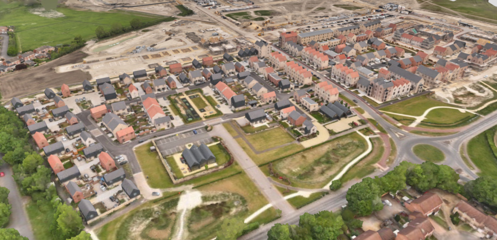
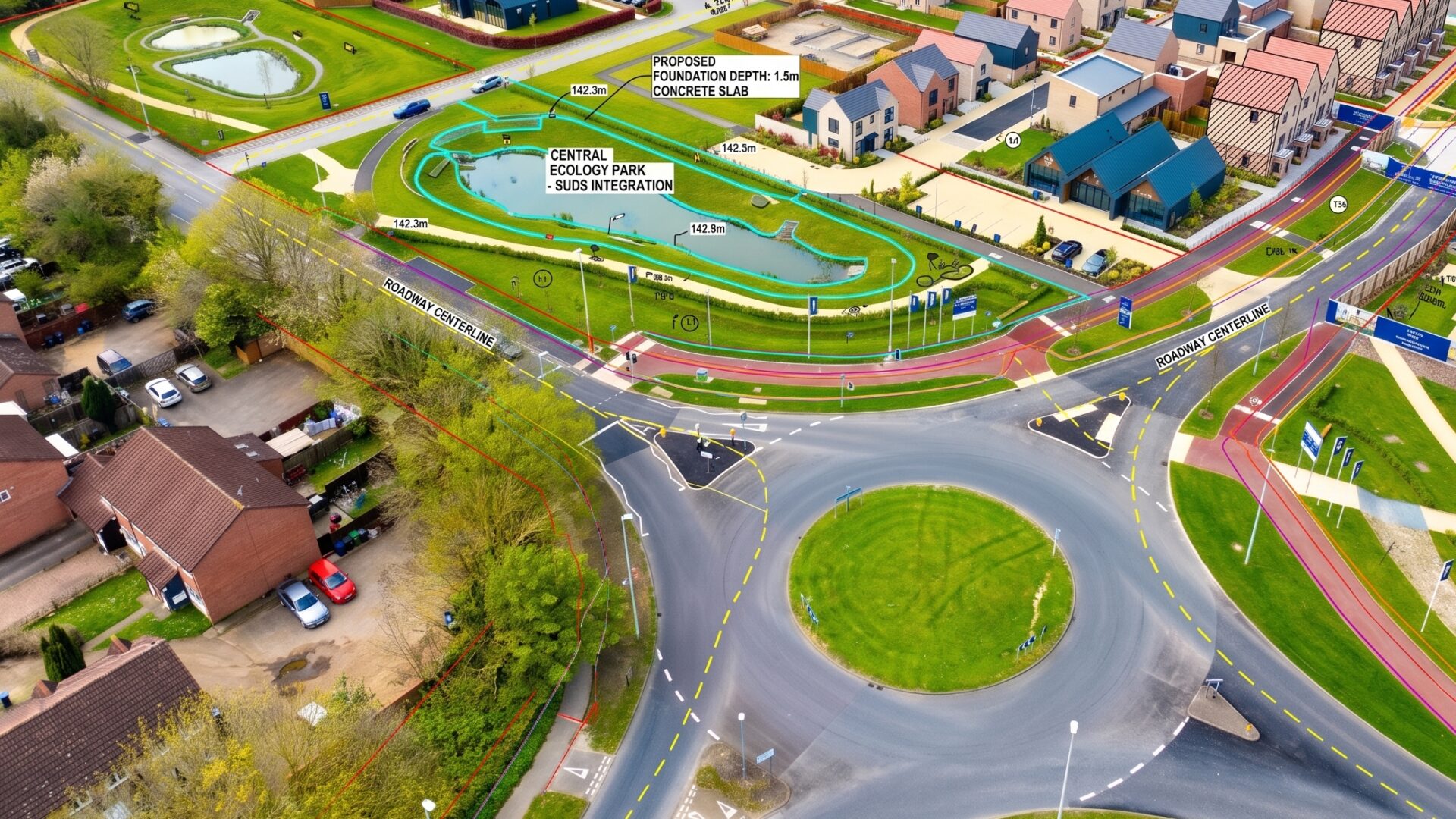
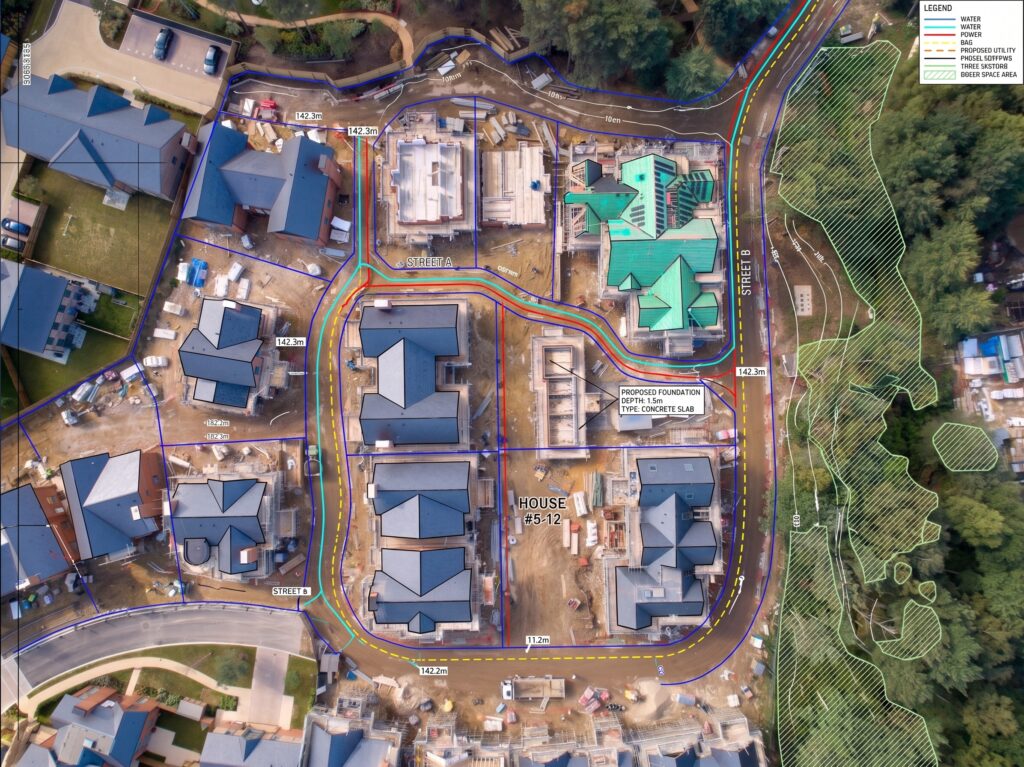
Using the latest technology to create accurate and up to date site surveys
There is no quicker or safer way to inspect otherwise inaccessible areas
- Our principles
Committed to delivering exceptional aerial data
Aerial Data Collection
Using the latest in aerial data collection equipment you can be assured that the job is done right, first time.
Data Processing
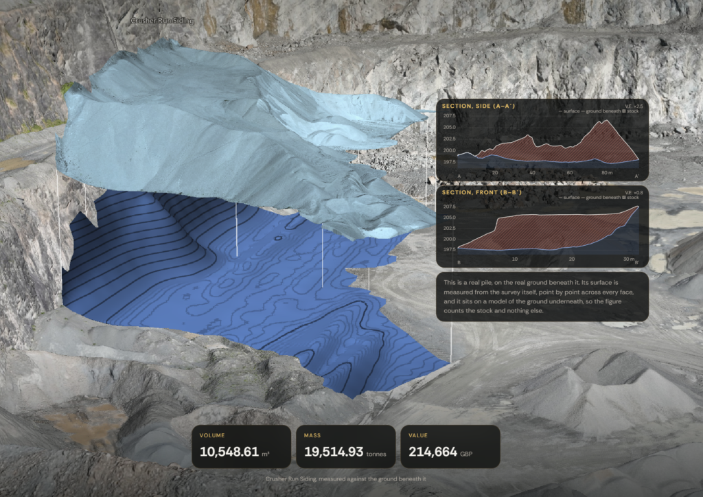
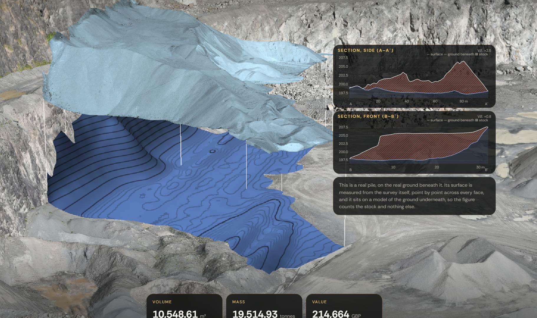
Highly detailed orthomosaics, dense point clouds, DSM, DTM, digital twins. Whatever you require, we can deliver.
Fast Turnaround
We will always strive to ensure your deliverables are in your inbox as soon as possible.
Quality
Your data comes with a quality report so you don’t just have to take our word for it.